
Garden Grove ZIP Code Coverage
Garden Grove's postal geography has six distinct ZIP entries in the research set. The area descriptions below are approximate orientation only. USPS decides the delivery ZIP for an exact address, while city GIS and the assessor decide whether the parcel sits inside the incorporated city. No exact station names are supplied because an authoritative USPS narrative assigning every neighborhood to a named station was not verified.
| ZIP | Approximate Garden Grove area | Postal service note | Verify before use |
|---|---|---|---|
| 92840 | Central and northern Garden Grove, including civic, downtown, and resort-adjacent eastern geography | Garden Grove postal facilities | Check the exact edge with USPS, GIS, and the assessor |
| 92841 | Northwestern and central corridors around Brookhurst and Chapman | Garden Grove delivery area | Confirm the house number, directional suffix, and city |
| 92843 | Southeastern Garden Grove, including portions associated with the broader Little Saigon landscape | Garden Grove delivery area | Cultural geography is not a legal or postal boundary |
| 92844 | South-central and west-central Garden Grove | Garden Grove delivery area | Verify which side of a street receives the ZIP |
| 92845 | West Garden Grove around Valley View and Chapman, near several jurisdictional edges | Garden Grove and West Garden Grove service geography | Confirm city jurisdiction before using city records |
| 92842 | Garden Grove post-office-box geography | PO-box ZIP, not ordinary street delivery | Do not map a box to a home, parcel, or block |
A postal city line can reach beyond the incorporated polygon, and a city parcel can use a neighboring preferred postal name. The ZIP directory is therefore a starting filter. It is not proof of a Garden Grove resident, owner, voter, or parcel. Record the exact address and the source date before moving to any county or city search.
Garden Grove ZIP 92842 Is PO-Box Only
92842 is the local exception that most clearly breaks a street-based assumption. The research identifies it as a PO-box ZIP associated with Garden Grove, not a mappable street-resident neighborhood. A box connects a recipient with a mail facility at a point in time. It does not identify a house, parcel, precinct, school area, or block. Treating a box as a residence can place a person in the wrong city or property record.
Business filings and recorded instruments may use a PO box as a mailing or return contact while the entity address or property situs is elsewhere. Search the recipient or entity in the appropriate custodian, then separate the mailing line from the physical address. The USPS ZIP Code lookup can verify a known delivery address, but it cannot turn an incomplete box record into a mapped residence.
Note: A 92842 match supports a postal contact only; it does not support a claim about where a household lives.
West Garden Grove ZIP 92845
West Garden Grove is physically distinct from the central and eastern body of the city and is closely associated with 92845. Its proximity to Cypress, Los Alamitos, Westminster, and other jurisdictional edges makes a map check essential. A street name or Garden Grove mailing line can continue across a boundary. The ZIP directory can point to the western area, but only the parcel and jurisdiction layers can establish which city office holds a permit, code case, or municipal file.
Use the Garden Grove Building and Safety portal only after confirming that the parcel is inside the incorporated city. Its page brings together project status, inspections, archived-record requests, GIS mapping, and division contacts. If the parcel falls outside the city line, identify the actual city or county custodian instead. The same sequence protects a search in every ZIP, but it matters most where West Garden Grove sits beside several city edges.
Finding Garden Grove Residents ZIP by ZIP
A ZIP-keyed resident search works only when it starts with a known address or a lawful record source. There is no verified unrestricted official portal that lists all people in a Garden Grove ZIP. Use the ZIP to narrow geography, then switch to the custodian whose records answer the next question. Once a ZIP is narrowed to a street, the Garden Grove street-address directory provides the address-keyed workflow for parcel, deed, and permit research.
- Run the full street address, city, and state through USPS to confirm the delivery ZIP and the standardized street line.
- Open city or county GIS, locate the parcel, and record the jurisdiction, APN, lot shape, and nearby boundary clues.
- Use the assessor or tax search with the property address or APN. Treat owner visibility as a product-specific result, not a guarantee.
- For ownership, search the Orange County Grantor/Grantee Index by a known person or entity. The recorder index is not a ZIP browse tool and does not show images.
- For permits or code history, use the city portal or a narrow written request with the address, date range, and record type.
Each ZIP calls for a slightly different emphasis after the address is verified:
- 92840: check the civic and eastern edge in GIS before treating a postal result as city jurisdiction.
- 92841: confirm directional street text on long corridors that cross city lines.
- 92843: test Vietnamese, Korean, Hispanic, and unaccented name variants without treating Little Saigon as a formal boundary.
- 92844: attach the ZIP to the exact house number when a road crosses 92843 and 92844.
- 92845: verify West Garden Grove city jurisdiction before using municipal permit or code records.
- 92842: stop at the PO-box contact unless another source supplies a physical parcel.
Garden Grove ZIP Search Fields
No single portal joins postal, parcel, voter, and census geography. The search fields below show what each system can actually accept and what its output means. A search field is not evidence beyond its system's purpose. USPS returns delivery information, GIS identifies land and layers, the assessor organizes parcels, Census approximates postal areas for statistics, and the voter tool authenticates an individual rather than opening a ZIP-wide list.
| Source or mode | Known fields | Useful result | Limit |
|---|---|---|---|
| USPS ZIP lookup | Full street, city, and state | Standardized delivery ZIP for the address | Does not establish city jurisdiction or occupants |
| City or county GIS | Address search, APN search, map controls, layer list, parcel identify | Parcel shape, APN, municipal layers, and boundary context | Layers change and owner names may not display |
| Assessor and tax tools | APN, property address, or tax account criteria | Situs, legal description, characteristics, values, or tax status | Public owner and mailing fields vary |
| Census ZCTA data | Statistical geography, table, place, and estimate filters | Population or demographic estimates for a ZCTA approximation | A ZCTA is not a USPS delivery route |
| OC Voter Lookup | First name, last name, date of birth, and conditional address or ID fields | An individual's own registration and ballot details | Not an anonymous ZIP-wide resident search |
| OC voter data products | Application, permitted purpose, wet signature, identification, payment | Products available under Elections Code rules | Not for unrestricted republication or casual browsing |
The Orange County Assessor property and parcel page hands users to a ParcelQuest interface and identifies a public counter fallback. The tax search at tax.ocgov.com is a separate account-oriented path. Neither should be described as a complete ZIP resident roll.
Little Saigon and Garden Grove ZIP Geography
Little Saigon is a cultural landscape that overlaps Garden Grove, Westminster, and neighboring areas. It is not a recorder boundary, voter district, assessor polygon, or USPS ZIP. A 92843 search may touch the broader association, but a cultural label cannot decide which city clerk, permit office, precinct, or parcel map applies. Keep the label as context, then use the exact address and official jurisdiction fields.
Language and name order matter in this part of Garden Grove. Vietnamese records may place the family name first or omit a middle name. Korean names can use different spacing or transliteration. Hispanic records may carry one or both surnames or a married-name change. Search the marked and unmarked form, swapped order, hyphen and space forms, initials, and known birth or maiden names. The ZIP narrows the map; it does not resolve an identity by itself.
Note: A neighborhood or cultural name helps frame a search, but legal descriptions, precincts, APNs, and postal routes remain separate systems.
Garden Grove ZIP Terms Compared
Several short labels appear in address records and statistical tables. Defining them first prevents a ZIP directory from mixing mail, land, and population data.
- ZIP code
- A USPS delivery-routing designation for mail, which may cross an incorporated city line.
- ZIP+4
- The nine-digit extension that narrows delivery within a ZIP; it is not a parcel APN.
- PO-box ZIP
- A postal designation for boxes at a facility. It is not proof of a street address.
- Unique ZIP
- A ZIP assigned to a particular organization or large mail recipient rather than a broad neighborhood.
- Carrier route
- A delivery sequence within postal operations, not a public list of households or a city district.
- ZCTA
- A Census statistical approximation used for estimates. It can resemble a ZIP but is not the USPS route itself.
For property work, add the APN, situs address, mailing address, and legal description as separate fields. The situs is the physical parcel. The mailing address is where correspondence goes. The APN is the assessor identity. The legal description is the deed key. A reliable ZIP search keeps all four labels in their own lane.
Garden Grove Voter Data Limits
The Orange County Voter Lookup Tool is designed for an individual to authenticate a record. It can return registration or ballot status, voter history, and related election details after identity inputs. Voting history means elections participated in, not ballot selections. Public registration information can include a name, residence or mailing address, party preference, status or date, precinct or district, and participation history, but California Elections Code section 2194 and 2 CCR sections 19001 to 19013 restrict access to permitted election, scholarly, journalistic, political, or governmental purposes.
Broader county voter data uses an application to purchase or view voter registration information. The research identifies an original wet signature, permitted-purpose declaration, payment, supporting documents, and a photocopy of official photo identification for mail requests. The Registrar of Voters route is 1300 South Grand Avenue, Building C, Santa Ana. Product eligibility and fees can change, so use the current request instructions rather than presenting a ZIP file as a public directory.
The Orange County voter-data request page shows why a lawful ZIP analysis is a controlled records product, not a casual name search.
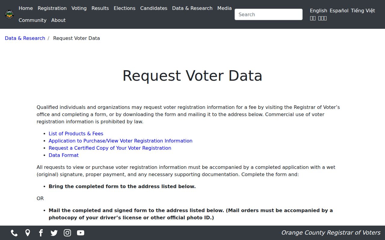
The application and its purpose declaration are part of the access rule. A ZIP code directory should describe that boundary instead of implying that a self-lookup opens a neighborhood roll.
The county's Data Central election-data gateway supplies official statistics and election data, which can help describe a ZIP or precinct context without identifying every person in it.
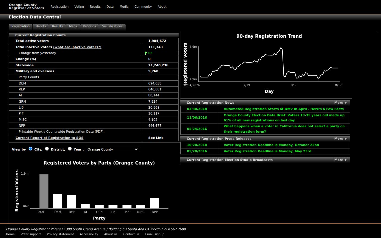
Data Central is useful for aggregate civic context. It should not be read as a person-level ZIP directory or a replacement for the authenticated voter tool.
Garden Grove ZIP Boundaries and City Limits
A mailing line does not decide whether Garden Grove city records apply. Confirm the exact address with USPS, select the parcel in GIS, compare the assessor jurisdiction, and then choose the city, county, or state custodian. The city assigns and administers local development and address processes. Orange County preserves assessment, tax, recording, and election systems. USPS controls delivery routes and preferred names. Census publishes ZCTAs for statistics. None of those systems can replace the others.
For an older address, compare the 1915 Sanborn sheet, the 1926, 1929, and 1931 directory title or street sections, subdivision maps, and current GIS. No verified citywide street-renumbering year was located. A post-1956 annexation ordinance in the Garden Grove City Clerk archive may explain when a parcel entered city jurisdiction even if its mailing line stayed Garden Grove. A narrow request through the city records portal can identify a permit, code, or address series not exposed online.
The official California statutory text portal is the right place to confirm current Elections Code and public-records language when a ZIP research question turns into an access question.
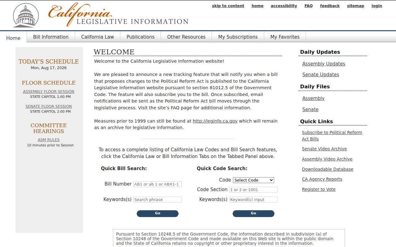
That final check keeps the ZIP directory tied to the rule that actually governs the record. If the postal and city answers disagree, preserve both and label each one.
Boundary check. Never call a ZIP match a Garden Grove residence until the exact parcel and city jurisdiction have been verified. A PO box, cultural label, ZCTA, or preferred postal name can point somewhere else.