
Find People Along a Garden Grove Street
A street search works best as a chain of evidence. Begin with the exact house number and street spelling. A block or a landmark is not enough to establish a parcel. Then move from place to record, keeping the evidence date and the role of each name. The first pass can be online, but the county counter, city request route, library shelf, or recorder copy process may be needed when an index stops short.
The lead flow is address → APN → GIS → owner or deed → voter or cross-cross evidence. It can show who owns a parcel, who appears in a historical address directory, or which public agency handled a permit. It cannot promise every household member or current occupant.
- Normalize the Garden Grove situs address and search the Assessor property route or tax account to capture the APN and legal description.
- Open the county or city GIS map, zoom to the street segment, select the parcel, and check boundaries, layers, and jurisdiction.
- Use the APN and public owner evidence as the seed for a Grantor/Grantee search, then match the deed’s legal description before treating a party as an owner.
- Check city permit, project, inspection, or code tools by the permit, plan-check, address, or case field, with a written request fallback.
- For a past occupant, read the street section of a verified Haines cross-cross volume, then compare census, obituary, probate, or directory evidence.
Turn a Garden Grove Address Into an APN
The APN is the parcel key that makes an address search less fragile. Enter the property address in the Orange County Assessor handoff to ParcelQuest or the county tax screen. Confirm that the situs is the physical parcel, not an owner mailing line. Save the displayed APN, subdivision or lot description, map link, characteristics, and assessment reference. Public owner display varies across products, and the research does not support promising a universal public owner-name search.
If the online card is incomplete, use the Assessor Public Service Counter at 500 S. Main Street, 2nd Floor, Orange. County directory assistance is listed as 855-886-5400. Bring the address and any APN already found. The counter is a stronger fallback than guessing from a commercial result, especially for a corner lot, a tract with shared numbers, or a parcel whose mailing contact is elsewhere.
Orange County’s secured-property tax search shows the address and APN-oriented route used alongside the assessor record.
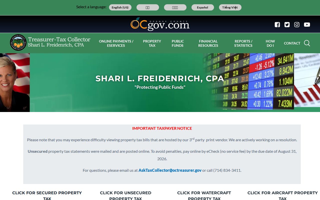
The tax screen can add account and status context, but it does not replace a deed, a parcel map, or a current occupancy source.
Browse Garden Grove Parcels Visually
GIS is the street-browse part of the Garden Grove street directory workflow. Search or autocomplete an address, zoom to the candidate, click the parcel, and note the APN and jurisdiction. The map can expose adjacent parcels, lot shape, zoning or planning layers, permits, inspections, and violations when those layers are enabled. A corner parcel or multifamily site can defeat a simple house-number sequence, so visual adjacency is safer than assuming that the next number is the next lot.
Garden Grove Building and Safety links permit status, archived-record requests, inspections, project status, and GIS mapping. The public map changes over time, so record the layer name and evidence date. If a county map and city map disagree on a city edge, confirm jurisdiction with the parcel and the relevant custodian before sending a request.
| Search Field | Type | Use | Limit |
|---|---|---|---|
| Property Address | Text or autocomplete | Find the situs candidate and map extent | Directional and municipality spelling must be checked |
| APN | Formatted text | Select the exact parcel | Preserve the county’s grouping and leading digits |
| Address or search bar | Autocomplete text | Zoom to a street or parcel candidate | A block alone cannot establish a parcel |
| Layer list | Checkboxes | Show parcels, planning, permits, inspections, or violations | Live layer names can change |
| Identify or select parcel | Map click | Open popup attributes and APN links | Owner and occupant data may be absent |
Garden Grove Building and Safety is the source for the permit, mapping, inspection, and archived-record choices.
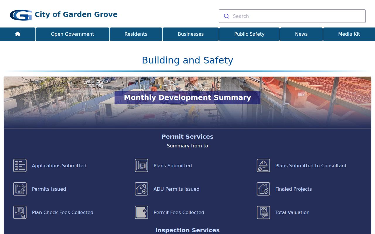
The city portal image shows why a street search may need both a map click and a permit or plan-check number.
Garden Grove Records by Street
Address-keyed records answer different questions along one Garden Grove street. The assessor identifies parcel facts, the tax account adds billing context, and the GIS map shows shape and relationships. Deeds are found by party name, not by a street list. City permits and code records can show work at a site, while a cross-cross directory may show a listed occupant at a particular historical date. A record set should be described by what it actually contains.
| Record Set | Keeper | Street-Level Evidence | Access Route |
|---|---|---|---|
| Assessment and parcel record | Orange County Assessor | APN, situs, legal description, characteristics, assessed values | ParcelQuest handoff or public counter |
| Secured tax account | Treasurer-Tax Collector | Account, situs, status, bill or tax context | Free online search; copy rules vary |
| GIS parcel and layers | OC GIS, OC Survey, or Garden Grove mapping | Boundaries, adjacent lots, planning, permits, inspections, violations | Public web map and custodian fallback |
| Recorded instruments | Orange County Clerk-Recorder | Grantor, grantee, date, instrument, legal description, liens or easements | Free index; paid copy by counter or mail |
| Permit and code record | Garden Grove Building and Safety | Permit, plan-check, work, inspection, applicant or contractor associations | Web status, email, counter, or archived request |
| Historical cross-cross | Library or archive | House-number and street occupant or telephone references | Library access for verified years |
Read the street coverage table as a set of joins. APN joins property and GIS. The legal description joins the deed chain. A permit number joins city status and archived material. A directory year joins an occupant clue to a date, not to a current household.
Situs, Mailing, and Legal Keys
Street work fails when one kind of address is treated as another. Keep the physical site, the tax contact, the parcel identity, and the directory entry in separate fields. The same Garden Grove parcel can have a mailing address outside the city, a tax owner who does not live there, and a directory line that names a past occupant.
- Parcel
- A mapped unit of land identified by an APN and connected to an assessment or legal description.
- Situs address
- The physical location of the property. It is the address used for parcel and site research.
- Mailing address
- The destination for tax or return correspondence. It can point away from the parcel and does not prove residence.
- Legal description
- The tract, lot, block, or other deed identity used to match property when a street number changes or repeats.
- Criss-cross directory
- An address-first or street-order volume that can connect a house number to a listed occupant or telephone entry for its edition year.
A plat or subdivision map adds the layout of lots and streets. It is useful when a corner lot, shared drive, or old label makes a modern number hard to match. It does not supply a complete list of people.
Orange County Deeds Use Party Names
The recorder’s Grantor/Grantee Index is not a street directory search box. Search the known party as grantor or grantee, narrow with a date pair, and compare the document type and legal description. From 1982 forward, the county’s instrument-number convention uses the recording year plus six digits. For pre-1982 copies, book, page, and instrument references are important. The live instructions do not establish an earliest indexed year.
The index is free and does not display images. Once the result is matched, the Orange County Clerk-Recorder copy route costs $1 per page plus $1 certification for each document or map. Mail requests use 601 N. Ross Street, Santa Ana, with a self-addressed stamped envelope and check payable to County of Orange. Staff will not perform an open-ended name search for the researcher, so carry the identifier into the request.
The Orange County Grantor/Grantee Index is the source for the party-name search step.
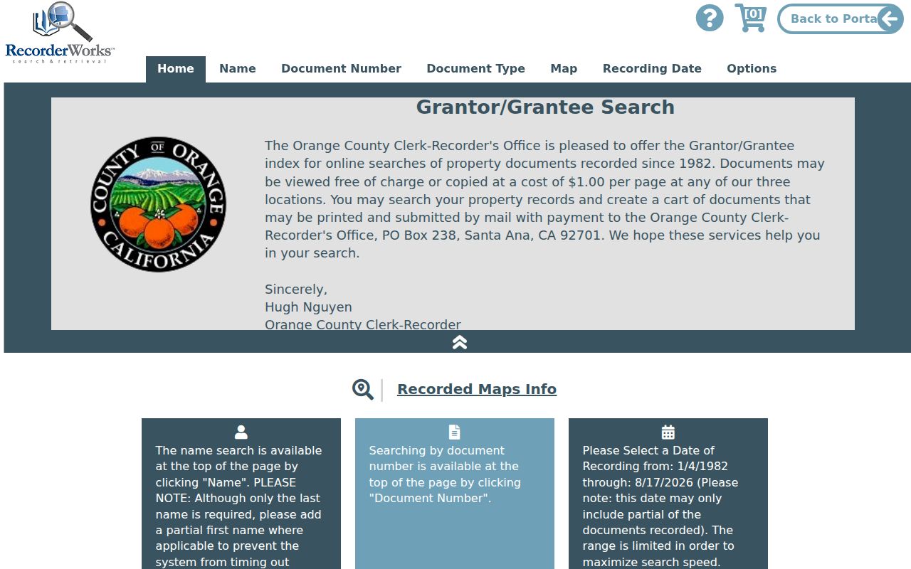
The recorded-document index image shows the lead stage. The instrument itself is needed for vesting, legal description, and other document details.
The Orange County Clerk-Recorder copy instructions explain the counter and mail route once a known instrument has been found.
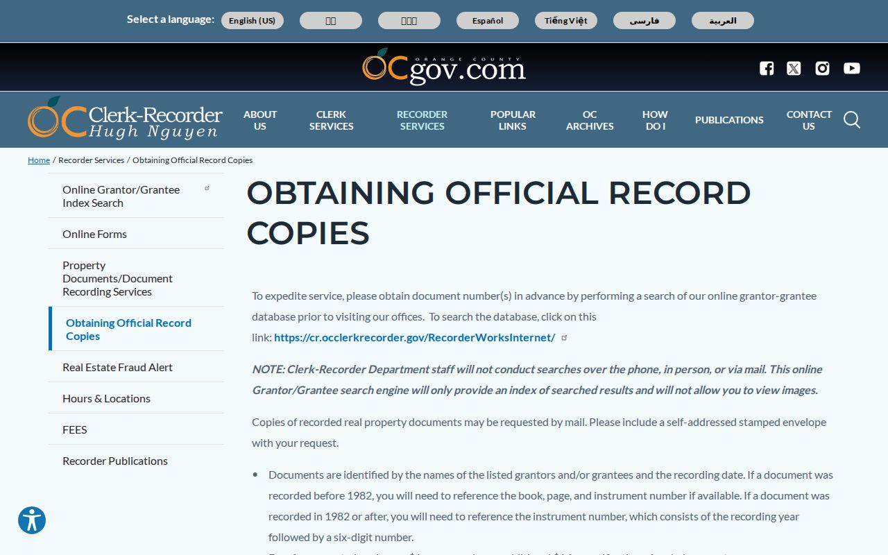
The copy-instructions image marks the handoff from a free index result to a paid document copy with the legal description.
Note: A deed of trust records financing security, while a reconveyance releases it; neither one alone establishes household occupancy.
Garden Grove Permits by Address
Building and Safety adds a human construction trail to the parcel trail. Daily Inspections, Schedule Inspection by permit number, Project Status by plan-check number, permit applications, archived records, GIS mapping, and violation reporting are all listed as city service choices. A permit can identify a site, work description, applicant, contractor association, or date. The applicant and contractor are not automatically residents. Plans may not exist for every property.
Planning uses an address-specific form. Email is required, while site address is required unless the general-inquiry box is checked. The form also asks for inquiry type, request details, and optional supporting files, with a combined maximum of 30 MB. Its stated average response expectations are two business days for general inquiries, seven business days for cursory reviews, and four weeks for preliminary reviews. Only one property or project belongs in a request. Planning is listed at (714) 741-5312; Building and Safety is listed at (714) 741-5307 and building@ggcity.org.
Garden Grove Planning’s address contact form is the source for the fields and response ranges.
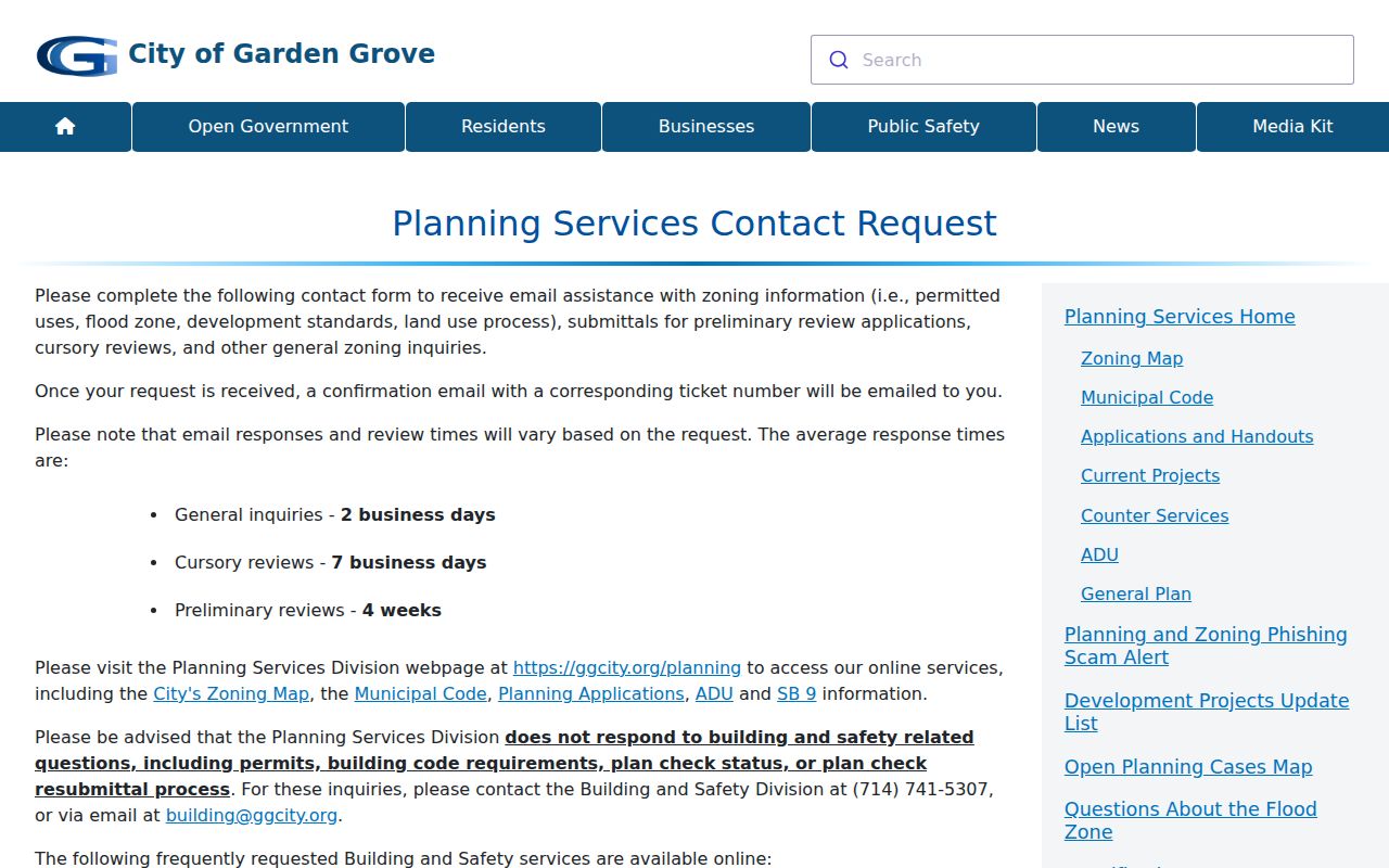
The planning form image shows the difference between a property inquiry and a broad request for people at an address.
1980s Garden Grove Cross-Cross
When the question shifts from current parcel owners to who was listed at a Garden Grove house, a reverse or criss-cross directory is the better street tool. The verified Haines Los Angeles South Suburban Cross-Cross holdings at the LA County Library Californiana collection in Norwalk cover 1981, 1983, 1984, 1985, 1986, and 1988. The address section can show a house number, street, occupant or telephone reference, depending on the volume. It is not a complete census and should be read with the title page and abbreviation key.
Pacific Bell and GTE Orange County or Huntington Beach address and phone volumes cover portions of 1988 through 1994 and later 2000s editions in the holdings inventory. Inclusion fades as listings change, so record “no return” or absence as a source result rather than proof that no one lived there. The shelf’s years and reading method are developed in the Garden Grove city directory collections page.
Bridge a Garden Grove Address Across Time
Older Garden Grove street work needs more than a modern number. The Library of Congress 1915 Sanborn map can test whether a building footprint or street label existed before incorporation. NARA’s 1926, 1929, and 1931 directory anchors, the 1930 census, subdivision maps, deeds, and the modern GIS layer provide separate chronological checks. Compare the legal description and tract or lot when the number does not line up.
No official source located a citywide Garden Grove street-renumbering year. Do not fill that gap with a guessed date. Compare the Sanborn sheet, directory title and street pages, annexation ordinances, subdivision maps, and recorder legal descriptions case by case. An address may also cross a city edge or a ZIP boundary without changing the parcel’s legal identity.
The Library of Congress Garden Grove Sanborn map is a built-environment reference, not a resident-name list.
Orange County Archives is the fallback for county maps, photographs, and government context around an older address.
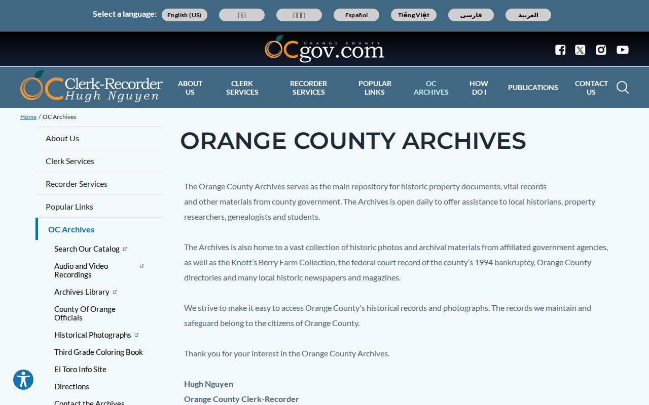
The archive image points to a reference channel for records that sit outside the modern parcel viewer.
Garden Grove Voter Street Limits
The Orange County Voter Lookup Tool is designed for a voter’s own registration, ballot status, voter history, and related election details after identity inputs. It is not an anonymous search-by-name-and-street tool. Broader voter data requires the county application to purchase or view voter registration information, an original wet signature, permitted-purpose declaration, payment, and supporting documentation. Mail requests include a photocopy of official photo ID and go to the Registrar at 1300 S. Grand Avenue, Building C, Santa Ana.
California Elections Code section 2194 and related regulations limit access to election, scholarly, journalistic, political, or governmental purposes. License numbers, state ID numbers, Social Security numbers, and signatures are confidential. Safe at Home and other protected records are withheld. A Garden Grove street directory should therefore describe the lawful channel and stop there, rather than publish or infer a voter list.
Note: Voter history records elections participated in, not the candidate or measure selected on a ballot.
Ownership Is Not Occupancy in Garden Grove
A parcel owner, a tax-mail recipient, and a current occupant are three different propositions. A trust or LLC can hold title. A trustee can act in a representative role. A permit contractor can work at the site. A tax mailing line can point to another city. An apartment parcel can contain many households, while a condominium address can contain separate APNs. GIS shows the cadastral arrangement, not a roster of unit occupants.
Use a dated cross-cross entry, census schedule, obituary, yearbook, or direct public contact only for the narrow historical or reconnecting question it can answer. Do not convert an entity name into a person, a permit applicant into a resident, or a visual neighbor into a verified household member. These role labels keep address research accurate.
Where a Garden Grove Street Directory Ends
A street directory can trace public parcel, deed, permit, map, and historical listing evidence. It cannot supply DMV addresses, utility customers, every renter, every household member, or protected voter and Safe at Home records. If a GIS map fails, use the Assessor counter. If an owner is hidden online, use a known recorder document or a lawful assessor route. If a permit archive is absent, email one property address to Building and Safety. If an old occupant is missing, check spelling, spouse, street page, census, newspaper, yearbook, obituary, or probate sources.
Lawful personal use. Public Garden Grove address records may support family history, property research, and civic review. They are not permission to stalk, harass, intimidate, impersonate, or harm a person. Stop when the custodian or law sets a privacy boundary.
When the goal changes from a whole street to one person, use the separate resident-search path and verify at least two independent records. When the goal is a past occupant, use the historical directory shelf and name the year, edition, and role. A careful Garden Grove street directory leaves a clear source trail even when the answer is “not public” or “not established.”